


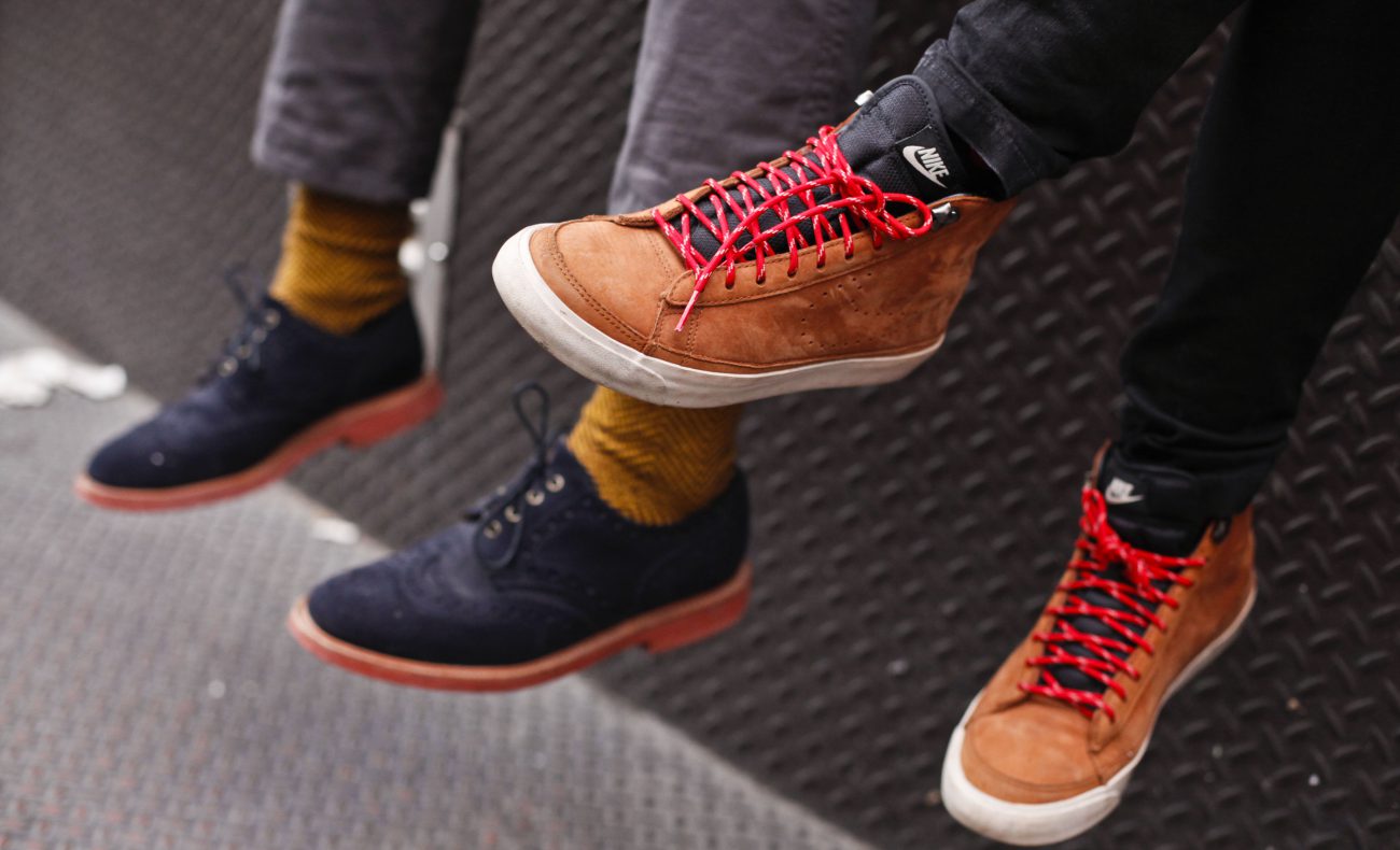
Shoes with GPS that don't need satellites
 Source:
A Modern navigation system based on the orientation of the instruments in space by using information received from GPS or GLONASS satellites. One of the problems with such devices is that they can work not always and strongly depend on the mass conditions. But recently, Russian scientists from the Siberian Federal University (SFU), together with colleagues from the National research Tomsk Polytechnic University (TPU) has developed a technology that will be able to determine the coordinates of the user without data from the satellites.
These sensors can be equipped with shoes or other clothing items. And the invention is a pedestrian navigation system, which can determine coordinates of the user even in a dense urban environment, the forests and underground. As told to the author of the development of candidate of technical Sciences, associate Professor of instrumentation and nanoelectronics of the Institute of engineering physics and Radioelectronics, Siberian Federal University Pavel Maryushkin
«the System does not need the antenna, and hence determines the coordinates of the location where it is impossible to use a satellite system such as GLONASS or GPS. The system itself is inertial, not dependent on external reference points or signals. The sensors detect the path by measuring accelerations, which moves the pedestrian. Knowing the origin of a route, the system will determine the distance traveled and the location of the user based on sensor information».
The instruments Themselves are quite compact. The measuring unit can be worn on the arm bracelet, but it is best to place it in the sole of the Shoe. During a series of experiments, the scientists conducted measurements, and they found out that the error location is not exceeded 2.5%. New development can be used in the individual navigation equipment not only to create analogues of GPS, but also for spatial orientation of people with vision problems.
Based on the materials of the news Agency TASS
Recommended
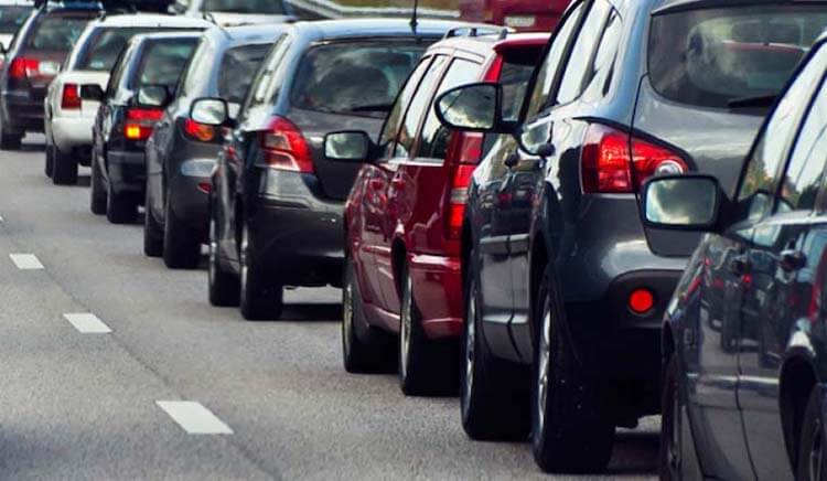
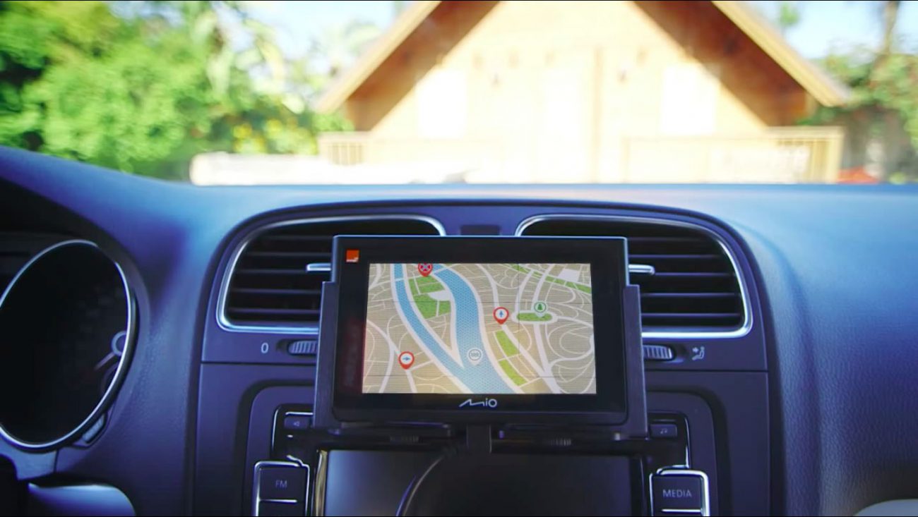
One of the most frustrating paintings for the city dweller. Many people just can't get in the car and run the Navigator to see how and how much will have to go. I — the man who still found the time when a car was necessary to go with the map. I...
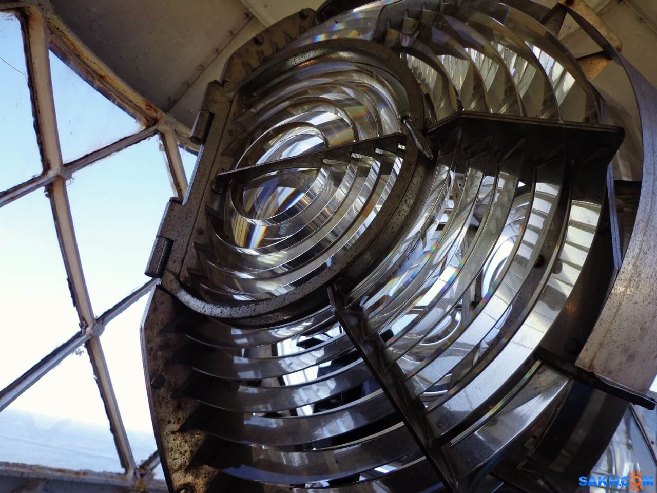
How does the lighthouse and why is it needed in our time
what do you think of when you hear the word “lighthouse”? Someone will imagine a GPS-tracker, someone — spy tracker, someone — the flashing light on a police car, and someone — just a radio beacon. But, most likely, most people will...

How much can float a message in a bottle if to throw it into the ocean?
Imagine that you were on a desert island. Perhaps you have even a bottle of rum that you managed to safely drink. Suddenly you find a piece of paper, a pen and decide to do the last thing in your power. You write a letter of request, put it in an emp...
Related News
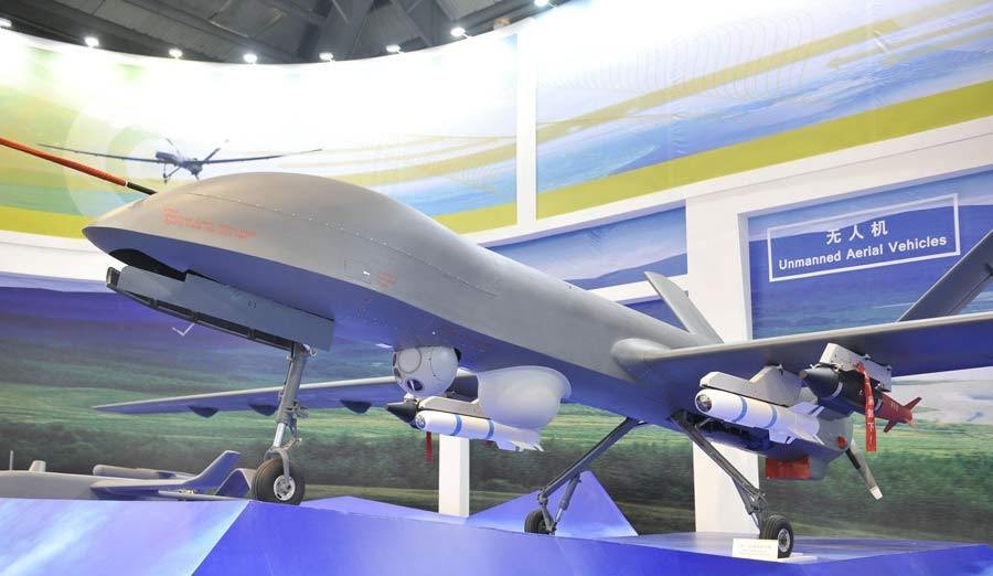
In China experienced a first-strike by a drone of its own production
Chinese engineers worked on a new reconnaissance and strike unmanned aerial vehicle for several years. Now he is ready and will soon be launched into serial production. In the meantime, he is tested and has recently completed the ...

In China fell on the first water rescue boat-the drone
the First self-propelled rescue boat capable of unassisted walking by rivers, lakes and seas, launched in the province of Anhui — there he will patrol large pond, which is popular among tourists and local residents a place o...
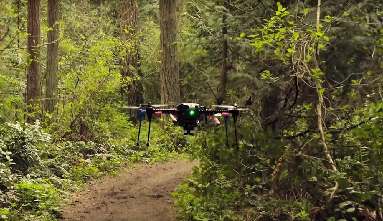
NVIDIA has taught the drone to navigate in space without the use of GPS
As you know, GPS systems are among the most common and accurate source of coordinates. They are used everywhere, including in unmanned aerial vehicles. But still there are areas where satellite navigation systems are not working, ...
Test of unmanned airliner from Boeing will begin next year
Airplanes are able to fly well almost without human help along the route, pilots are only required occasionally to adjust course and altitude, everything else is autopilot makes himself. But Boeing is going to create technology th...
China launched its own navigation system
the Portal CGTN reports that China's largest national system of satellite navigation and positioning started its work on Saturday, may 27. Deputy Director General of the National Agency of cartography and geoinformation of China...

Rostec presented a complex pedestrian navigation for the world Cup 2018
In the development of a Federal program «Safe city» and preparation and holding in Russia of world football championship in 2018, the holding company «Schwabe», part of state Corporation «rostec», has...
Comments (0)
This article has no comment, be the first!